Travel around Nagano with a sightseeing map! Recommended areas for spectacular spots & hot springs and gourmet food from the map!
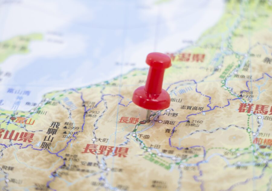
Table of Contents
- 1 Geography and features of Nagano Prefecture on a map
- 2 Explore Nagano Prefecture on a Sightseeing Map Four Areas
- 3 Hokushin Area Enjoy historic townscapes and famous hot springs
- 4 Toushin Area Enjoy a tour of castle ruins and a resort atmosphere
- 5 Chushin Area Encounter magnificent nature and spectacular mountain views
- 6 Nanshin Area Relax and enjoy nature and traditional culture
- 7 On the Nagano tourist map Frequently Asked Questions (FAQ)
- 8 summary
Geography and features of Nagano Prefecture on a map
Nagano Prefecture is a landlocked prefecture full of nature, located in the center of Honshu.
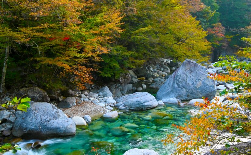
Surrounded by the Northern, Central and Southern Alps,Each of the four seasons offers a different view.
The prefecture is dotted with famous hot spring resorts, castle towns, and scenic spots, offering a wealth of sightseeing attractions, as well as gourmet delicacies such as Shinshu soba (buckwheat noodles).
In this column, you will see a sightseeing map of the area.Easy-to-understand recommended spotsI'm going to do it.
◆To learn about Nagano's tourist attractions
◆If you are planning a trip to Nagano for the first time
◆Those who want to tour efficiently with a sightseeing map
Those who want to enjoy hot springs, spectacular views, and gourmet cuisine in a well-balanced manner.
Click here to see the ranking of popular plans in Nagano
Explore Nagano Prefecture on a Sightseeing Map
4 Areas
Nagano Prefecture isNorth, East, Central, and South ShinEach area has a different atmosphere and enjoyment, and is divided into four different areas☆.
Area with historic townscape and hot springs
◆Toshin: Ueda, Bessho Onsen, Karuizawa area
Area dotted with castle ruins and resorts
◆Chushin: Matsumoto, Azumino, Kamikochi area
Area with magnificent mountain views
◆Nanshin: Suwa, Kiso, Komagane, Ina area
An area where nature and traditional culture remain.
Here are a few more details about each area☆.
I want to enjoy hot springs, see spectacular natural scenery, and enjoy walking around the town and eating gourmet food.Check it out for the purpose of your trip, such as â
Find an area you are interested in and make your own Nagano travel plan!
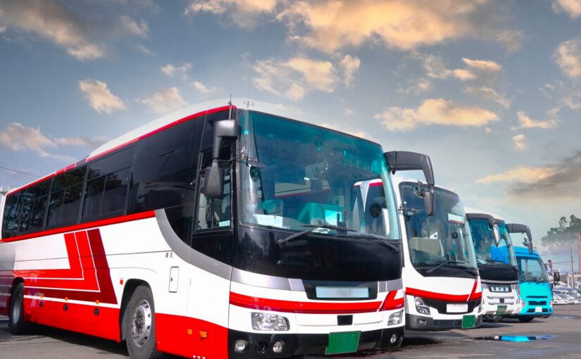
Click here for bus tours that take in the sights of the city.
▼For more information about Nagano sightseeing bus tours, please click here▼.
Hokushin Area
Enjoy the historic townscape and famous hot springs
In the Hokushin area (Nagano City, Obuse, Shiga Kogen area),A town where you can enjoy walking and an area with hot springs and nature where you can relax.It is.
From a day trip to a one- or two-night stay, you can enjoy it according to your travel style.
↓Click here for recommended tours in the Hokushin area.
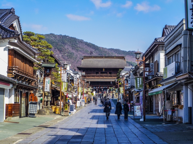
1) Nagano City Area
Tourist center for walking around temples and gate towns
If it's your first time to Nagano, Nagano City is the place to be.A standard area to visit first.
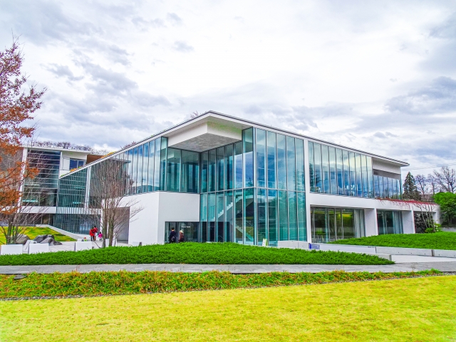
In addition to worshipping at Zenkoji Temple and enjoying the food and drink in the town in front of the temple, there is also Togakushi Shrine, the Nagano Prefectural Museum of Art, and many other attractions.
Easy access,Convenient as a base for sightseeing in HokushinÂ
◆Means of transportation for sightseeing: local buses, cabs, rental cars, etc.
↓Click here for popular sightseeing bus tours in Nagano.
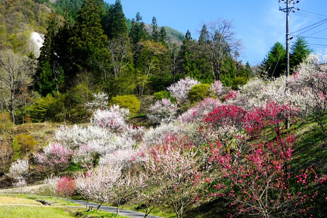
Obuse Area
Popular with those who enjoy visiting cafes and eating out.
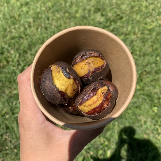
Obuse sect (of Shin Buddhism)Town of ChestnutsKnown as the "Chestnut Festival," the area is a popular place to enjoy chestnut confections and Mont Blanc.
You can also experience the culture at the Hokusai Museum and the warehouses in the townscape.
The combination of the historic cityscape and sweets is,A full day-tourist experience is possible.'It's good to be here'
◆Tourist transportation: shuttle bus, cab, car rental, bicycle rental, etc.
◆Access: 30 minutes by car from Nagano IC to the center of Nagano City; by train: Nagano Station
◆Parking: Paid parking available
Admission: General admission: 1,200 yen / High school and university students: 500 yen / Elementary and junior high school students: 300 yen / Children under elementary school age: free
◆Opening hours: 9:00~17:00 (last admission at 16:30)
Remarks: *Varies according to the contents of the exhibition.
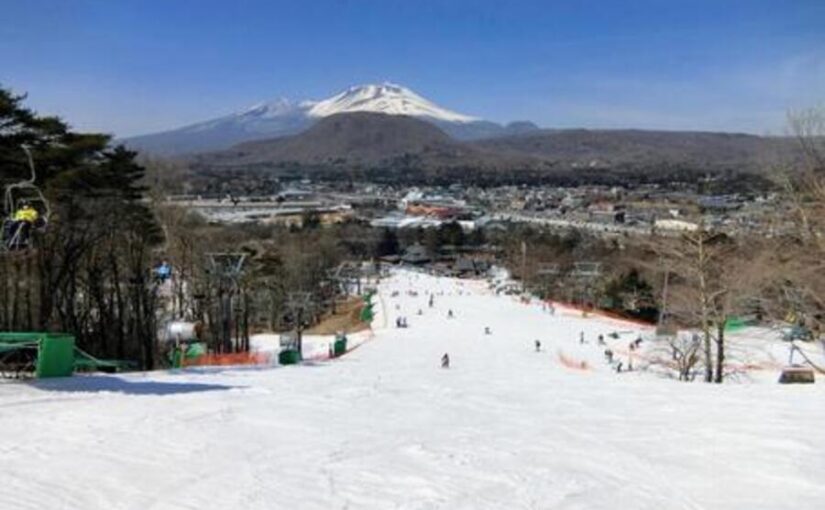
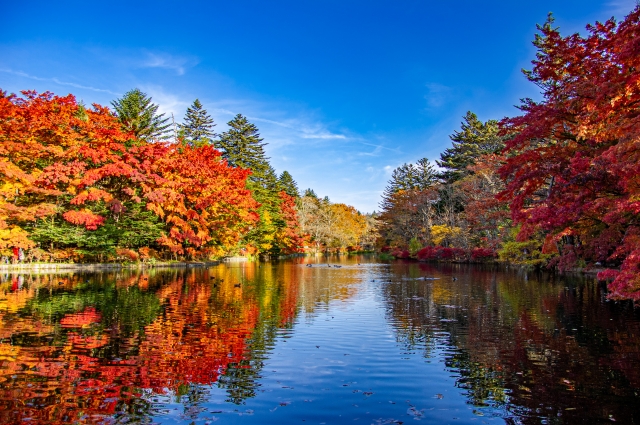
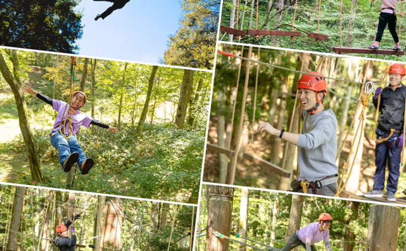
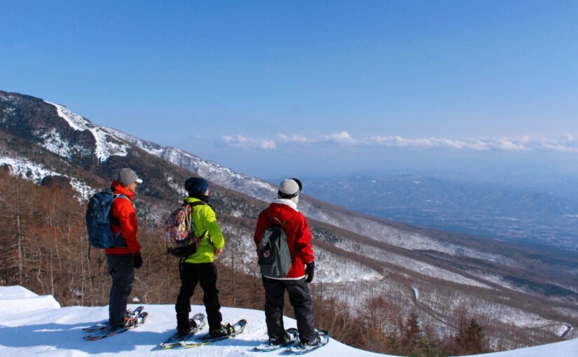
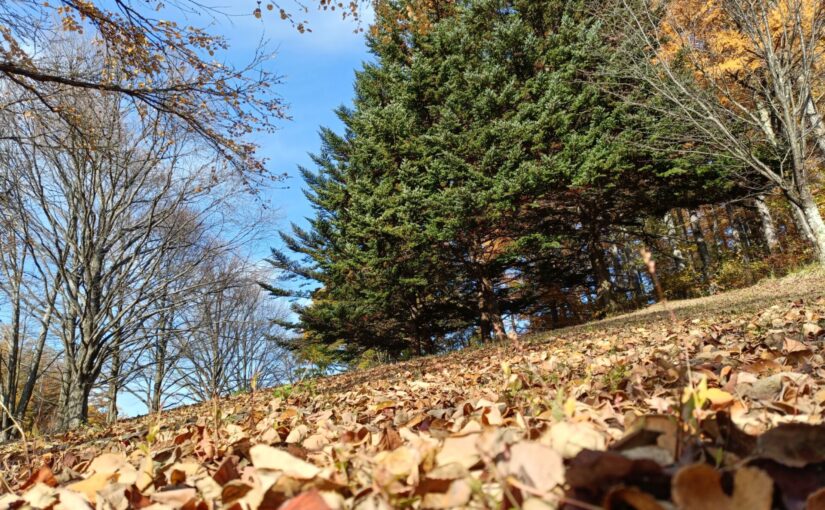
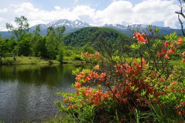
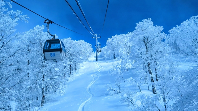
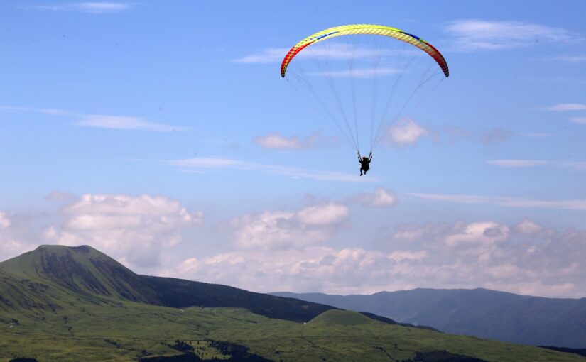
Shiga Kogen Area
Highland resort to enjoy hot springs and nature
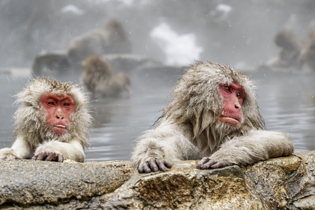
In NatureRecommended for those who want to spend a relaxing time☆.
Shiga Kogen is attractive for its seasonal natural beauty.
Trekking, autumn foliage drive, and the Jigokudani Monkey ParkHot spring monkey watchingcan be enjoyed.
At Kumanoyu and Yokoteyama Hot SpringsEnjoy the secluded hot springand in winter at the Shiga Kogen ski resort.You can also enjoy skiing and snowboarding♪
*Variable due to snow accumulation and traffic restrictions
◆Means of transportation for sightseeing: local buses (including shuttle buses within Shiga Kogen), cabs, rental cars, etc.
East Shin area
Enjoy touring castle ruins and resort atmosphere
The Toshinobu area is home to castle ruins, ancient roads, hot springs, and resorts.A well-balanced area to enjoy.
After visiting historical spots, you can take a break at a hot spring, enjoy shopping and gourmet food, and make a wide range of trips possible.
It is easy to visit for a day trip or an overnight stay, and can be easily enjoyed.
↓Click here for recommended tours in the Higashishin area.

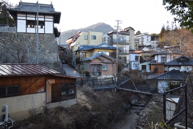
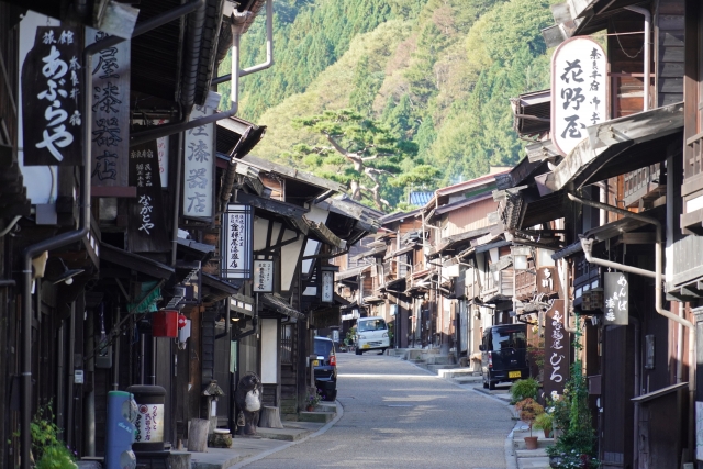
Ueda Area
Castle town walk to feel the historical romance
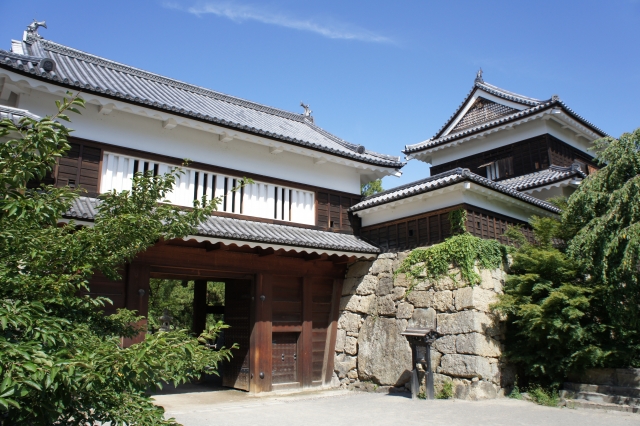
Focusing on Ueda Castle, which is associated with the Sanada clan,The calm atmosphere of the castle town is appealing♪
You can enjoy touring historical spots, cafes and walking around town together.It is a fun area to stroll around.
◆Tourist transportation: local buses, cabs, rental cars, shuttle buses for excursions, etc.
↓Click here for recommended sightseeing spots in the Ueda area.
(2) Bessho Onsen Area
Tour of famous hot springs with a soothing retro atmosphere
In a hot spring resort that is said to be the oldest in Shinshu,The retro townscape and touring the outside hot springs are popular.
There are many sights to see, such as the Kitamukai Kannon (Goddess of Mercy), making it the perfect place for a relaxing and healing trip.
◆Tourist transportation: free shuttle bus, cab, rental car, walking tour, etc.
Karuizawa Area
Highland resort trip in style
A highland resort with fashionable stores and cafes.
Both nature and shopping can be enjoyed, both as a summer resort and as a tourist destination.Popular area all year roundIt's ☆.
◆Means of transportation for sightseeing: local buses (departing from/arriving in front of Karuizawa Station), cabs, rental cars, circular shuttles, etc.
↓Click here for Karuizawa's recommended columns.

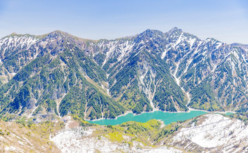
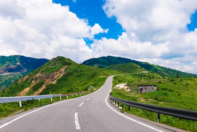
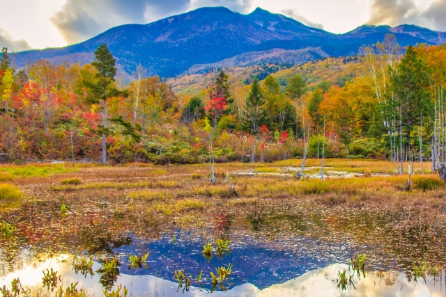
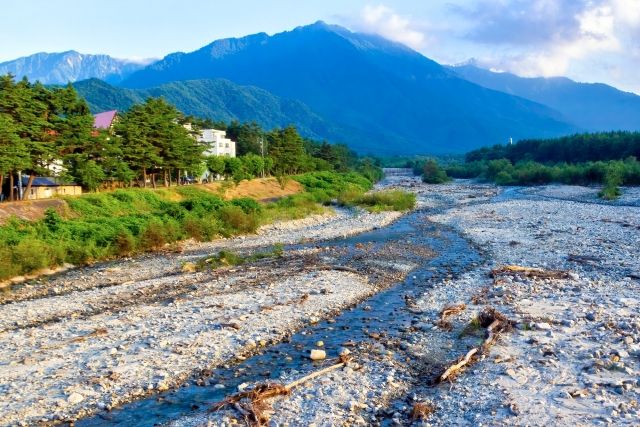
Chushin area
Encounter magnificent nature and spectacular mountain views.
The Chushin area is a well-balanced region where visitors can enjoy walking around the castle town, visiting museums, and even enjoying the magnificent mountain scenery.
There is a wide variety of mountain climbing and hiking as well as gourmet food in Shinshu,The appeal of this hotel is that it can satisfy both active and leisurely types of people.
It is also easy to assemble a trip.
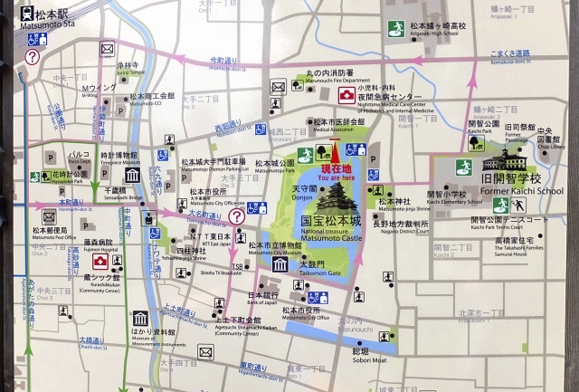
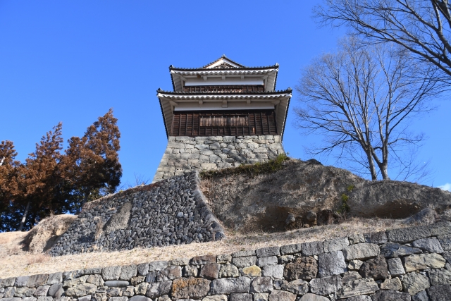
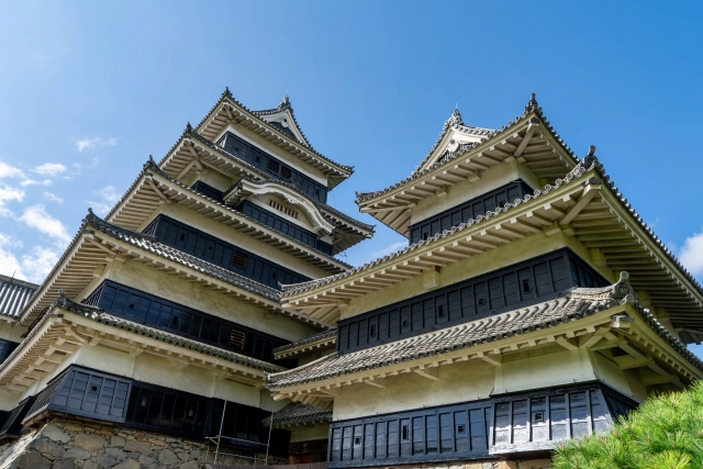
Matsumoto Area
Walking around town to enjoy the castle town and art
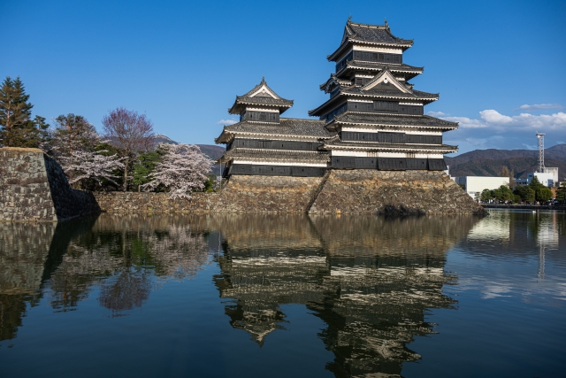
Focusing on Matsumoto Castle, a national treasure,A town where you can enjoy the atmosphere of a castle town and art culture.
With many museums and cafes, it is recommended for those who like to walk around the city.
◆Tourist transportation: local buses, city buses, cabs, rental cars, etc.
↓Click here for recommended sightseeing spots in the Matsumoto area.
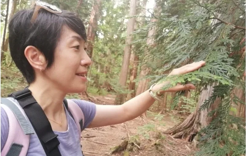
↓Click here for forest bathing tours in Matsumoto City.
Click here to see the ranking of forest bathing plans
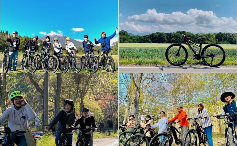
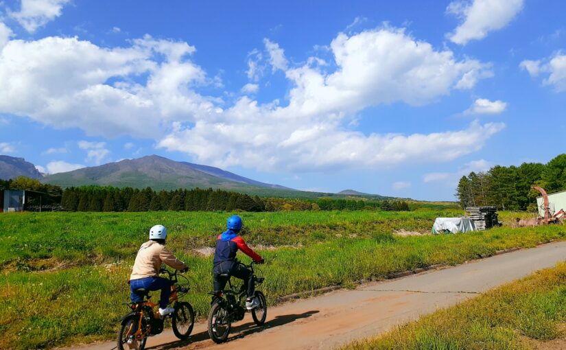
(2) Azumino Area
Leisurely nature walks at the foot of the Northern Alps
The area offers a peaceful rural setting with views of the Northern Alps.
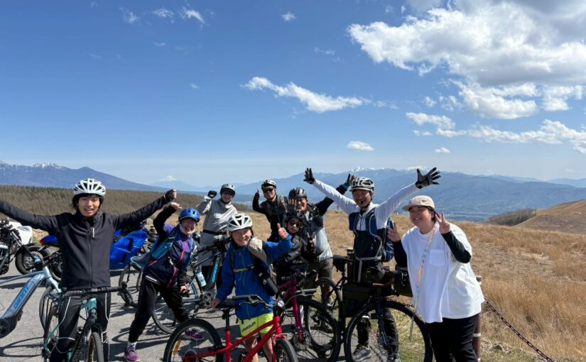
Museum tours, cycling, etc,Ideal for travelers who want to spend time in a relaxed atmosphere.Â
◆Means of transportation for sightseeing: local buses, cabs, rental cars, bicycle sightseeing, etc.
↓Click here for recommended tours in the Azumino area.


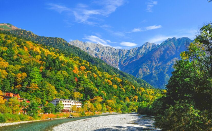
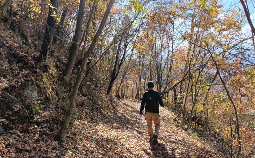
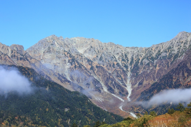
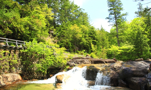
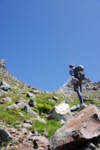
Kamikochi Area
One of the best mountain resorts in Japan with spectacular views
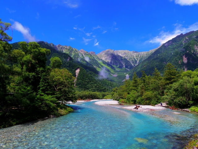
At one of the best mountain resorts in Japan,The clean air and overwhelming natural beauty of the area are its charms.
With well-maintained walking trails, even beginners can easily enjoy the spectacular view.
◆Means of transportation for sightseeing: Shuttle bus (Sawatari/Hirayu route), local buses, cabs, walking tours, etc.
↓Click here for recommended sightseeing spots in Kamikochi area.
↓Click here for Kamikochi forest bathing tours.
Nanshin Area
Relax and enjoy nature and traditional culture.
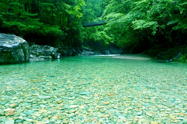
The Nanshin area is a serene region with rich nature and historical culture.
There are many attractions such as hot springs, walking around the inn towns, and spectacular views of the mountains,It is perfect for a trip where you want to spend time in a relaxed atmosphere.
Stay overnight while touringRecommended for family trips and adult travelers ◎
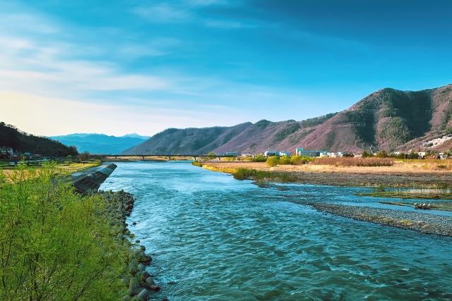
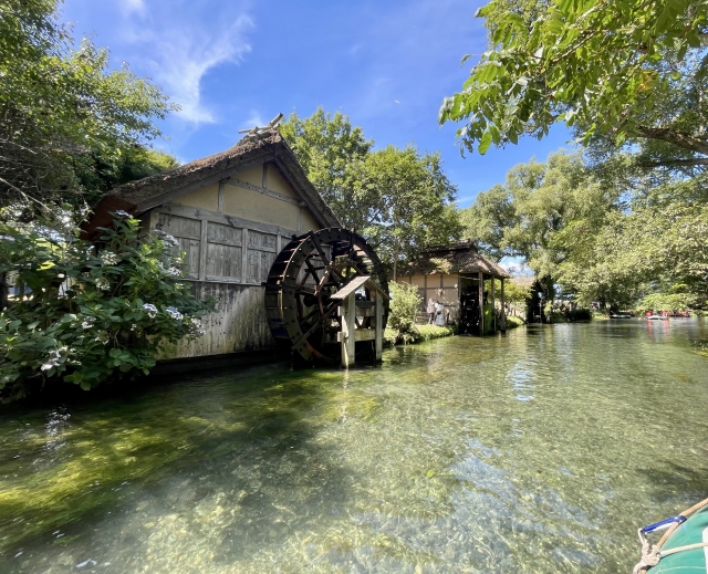
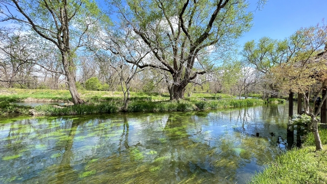
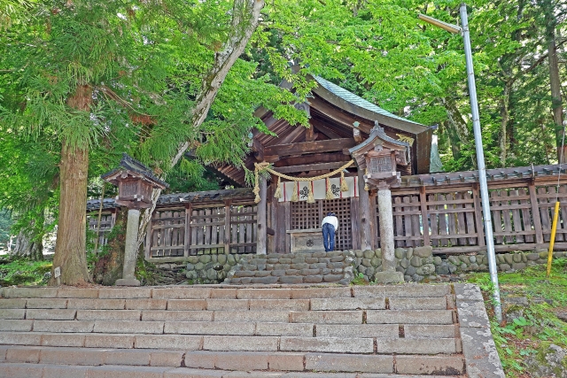
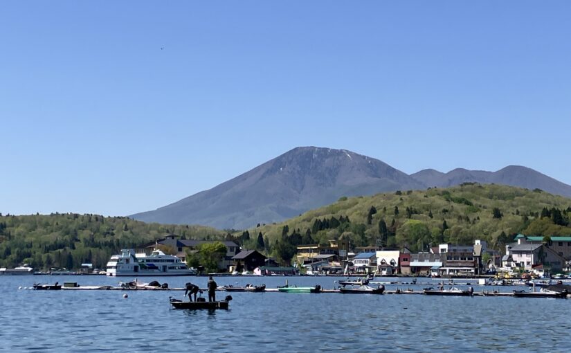
Suwa Area
Lake and hot springs for a relaxing break
Kamisuwa Onsen isSuwa Lakesideに位置し、足湯や宿泊が楽しめます。
Suwa-taisha Shrine is the oldest shrine in Shinano Province.Popular with tourists☆.
Gourmet foods such as local sake and Shinshu miso are also available.
◆Tourist transportation: local buses, sightseeing buses, cabs, rental cars, etc.
↓Click here for recommended sightseeing spots in the Suwa area.
↓Click here for recommended tours to enjoy in the Suwa area.
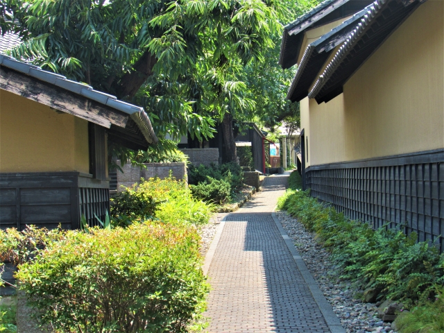
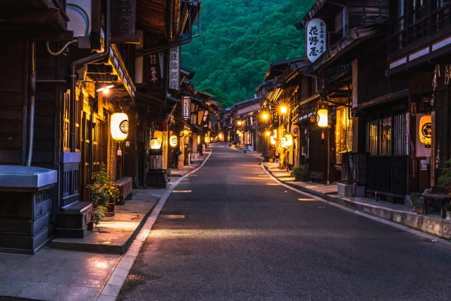
(2) Kiso Area
Historical walk to feel the atmosphere of an inn town
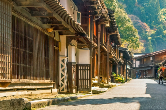
The area is full of historical atmosphere, with the inn towns along the Nakasendo Road remaining.
For a stroll through the streets of Naraijuku and other towns,You will feel as if you have stepped back in time♪
◆Means of transportation for sightseeing: local buses, sightseeing buses, cabs, rental cars, bicycle walks, etc.
↓Click here for recommended sightseeing spots in Kiso area.
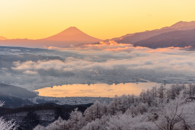
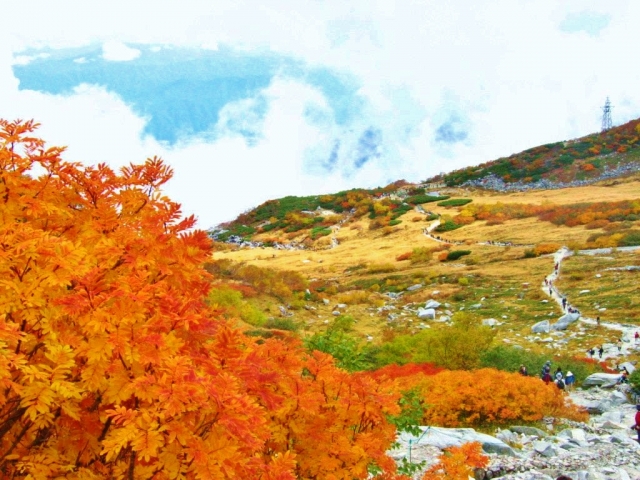
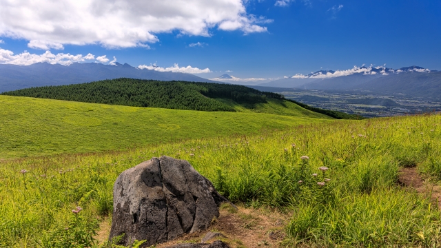
Komagane/Ina area
Enjoy the spectacular view and nature of the Alps
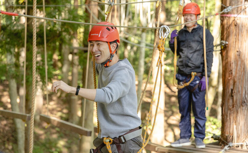
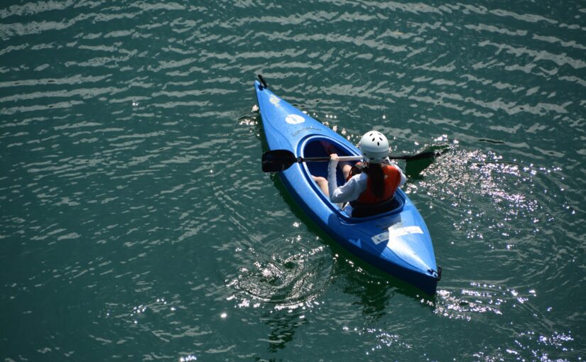
Sentazhiki Curlis a spectacular place above the clouds that can be reached by a ropeway.
At Komagane Kogen Onsen, you can enjoy hot springs and mountain scenery at the same time☆.
Fujimi Panorama Resort offers skiing in winter and trekking in summer,Nature activities aboundI'm working on it.
Operation may be suspended due to weather conditions.
◆Means of transportation for sightseeing: local buses (Komagatake ropeway line, etc.), cabs, rental cars, excursion buses, etc.
↓Click here for recommended sightseeing spots in Komagane and Ina areas.
Fun in Komagane and Ina area
↓Click here for recommended tours
On the tourist map of Nagano
Frequently Asked Questions (FAQ)
It depends on the area and purpose of the visit.
If you are planning to visit natural scenic spots or multiple areas, you may want to include an overnight stay to reduce the burden of travel and give you more time to enjoy your itinerary.
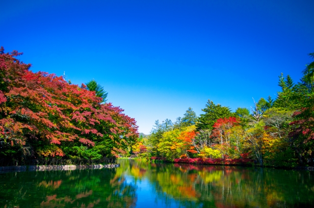
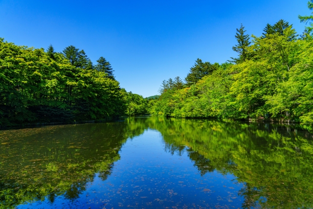
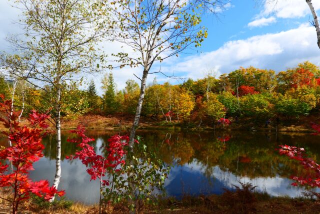
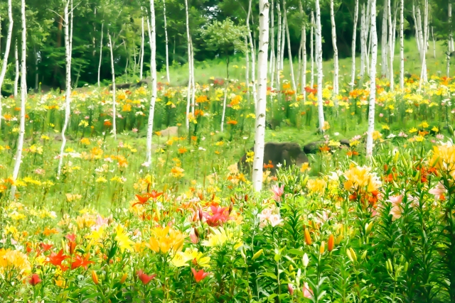
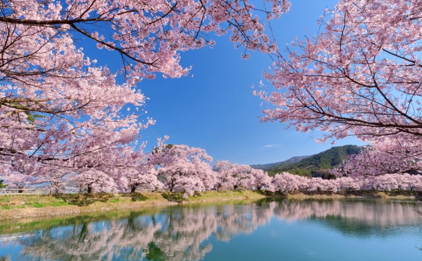
Flowers and fresh greenery in spring, highlands and summer resorts in summer, autumn leaves in fall, and snowy landscapes and hot spring tours in winter are attractive.
Since the sights change with the seasons, you will be more satisfied with your trip if you tailor your route according to the time of year you visit.
Even if you rely on the map on your phone, it is a good idea to carry a paper map and a mobile battery.
Since the weather can change easily, it is advisable to bring rain gear, warm clothing, comfortable walking shoes, water, and snacks for comfortable sightseeing.
summary
Nagano Prefecture is a prefecture where you can enjoy different attractions in each of the four areas: Hokushin, Toshin, Naka-shin, and Minami-shin☆.
The area is dotted with themed sightseeing spots such as history, culture, hot springs, spectacular scenery, gourmet food, skiing, and so on,Available for a wide range of trips, from day trips to overnight stays'It's good to be here'
By using maps and model routes, you can efficiently plan a trip to fully enjoy the charms of Shinshu.
↓Click here to read the article.

-1-825x510.jpg)