The Complete Guide to the Charms of Hiking and Trekking in Nagano Prefecture | Recommended Tours and Trails for Everyone from Beginners to Advanced Hikers
Mountaineering and Trekking in Nagano
What are the reasons for its popularity?
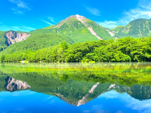
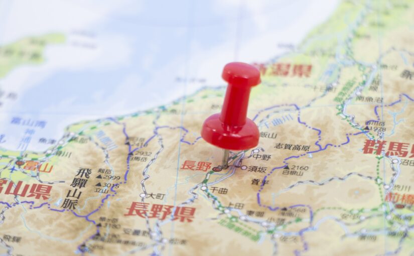
Nagano Prefecture is truly a sacred place for mountaineering and trekking enthusiasts.
Surrounded by beautiful mountains, including the Japanese Alps, visitors can enjoy the spectacular seasonal scenery and get in touch with nature.
In this issue.Enjoyable for beginners and advanced users alike.I would like to introduce mountain climbing and trekking in Nagano, Japan.
◆Trekking in Nagano, Japan
◆For those who want to know more about the mountains of Nagano
◆If you want to know the recommendations for mountaineering and trekking in Nagano, Japan.
Click here to see the ranking of popular plans in Nagano
Why is mountain climbing and trekking in Nagano so popular?
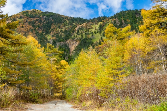
Let us show you why mountain climbing and trekking in Nagano are so popular!
Recommended for beginners!
Click here for popular hiking plans in Nagano
Click here to read the article in conjunction with this one.
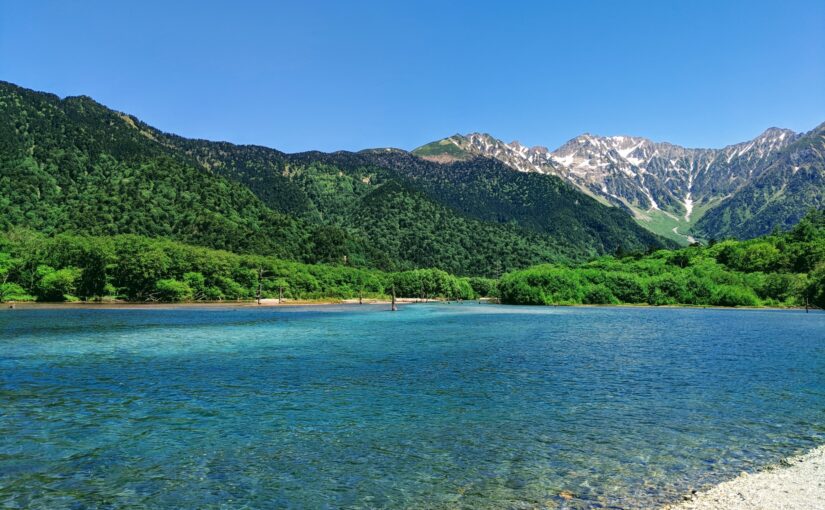
Beautiful mountains that change their appearance from season to season
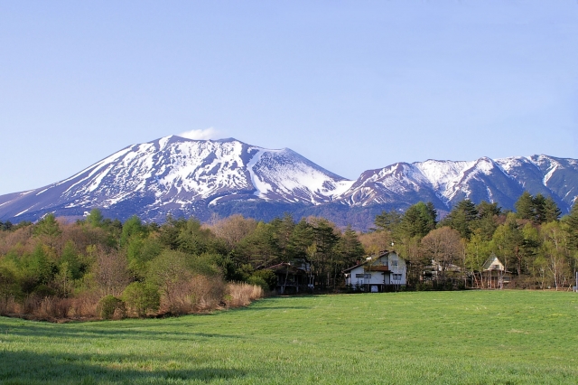
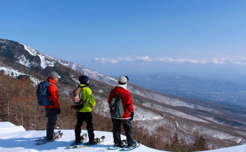
Nagano Prefecture is,Northern Alps, Central Alps, Southern Alpsand are all representative of Japan's mountainous regions. These mountains are ideal areas for mountain climbing and trekking due to their high elevation and magnificent nature.
Recommended tours to enjoy the mountains
Accessibility

Nagano City and Matsumoto City.Easy access from major citiesand is a base for mountaineering and trekking.
It is very convenient for travelers, as they can easily visit by public transportation or by car.
From beginner to advanced!
Variety of course options
In Nagano Prefecture,Fun for beginners and travelers with children.From the trekking courseA real mountain climbing course for advanced climbersThere are courses of varying difficulty ranging from
People of all ages can enjoy the spectacular scenery on courses suited to their level.
Click here to read the article in conjunction with this one.
Things to Enjoy Alongside This!
Nagano forest bathing tours are here↓.
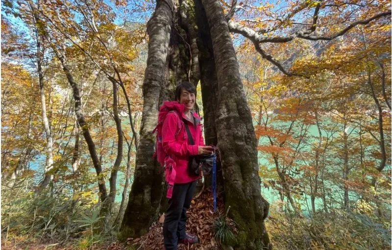
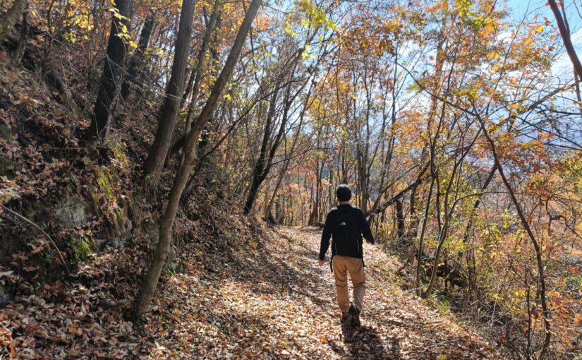
Forest Bathing Tours in Nagano
Click here for popular plans
Recommended Hiking and Trekking in Nagano
10 Must-See Spots

Nagano Prefecture offers a wide variety of hiking spots, ranging from highland trekking courses that are easy even for beginners to serious mountaineering routes that take you up to 3,000-meter-class peaks.
Here, from the Northern Alps, the Central Alps, the Yatsugatake area, and other locations,10 Recommended Spots with Different Scenery and Levels of DifficultyLet me introduce...
Choose a trail that suits your fitness level and hiking experience!
Click here for information on hiking in Nagano ↓
Click here to see the ranking of popular plans in Nagano
Kamikochi | For Beginners
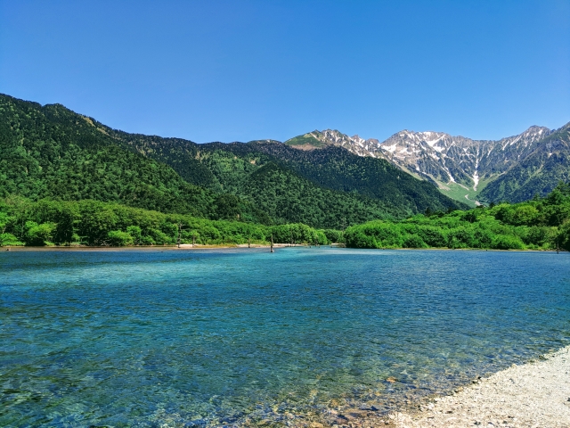
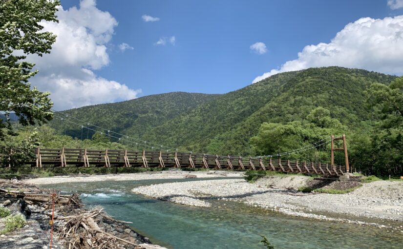
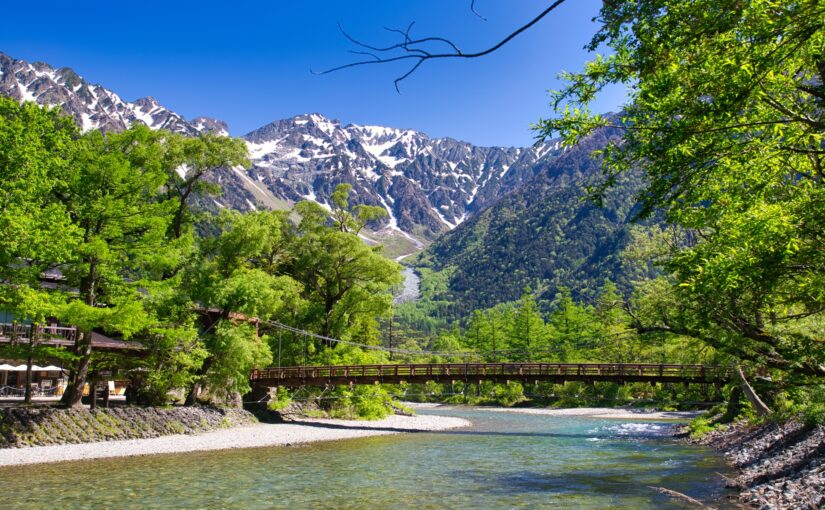
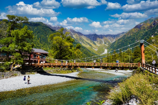
Kamikochi is located at an elevation of approximately 1,500 metersA scenic mountain area representative of Nagano PrefectureYou can enjoy a nature walk while taking in the views of the Azusa River and the Hotaka Mountain Range.
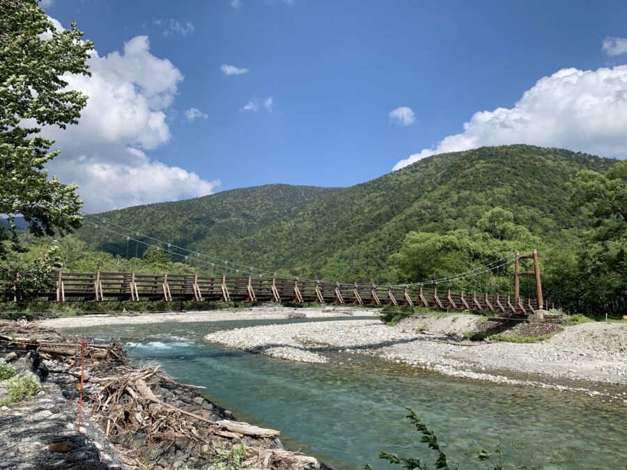
Since you can use Kappa Bridge as a starting point to explore places like Myojin Pond and Taisho Pond,My First HikeI'd recommend it for that, too.
It's perfect not only for mountaineering but also for those who want to enjoy a hike in the mountains while taking in the fresh forest air and breathtaking views.
◆Directions: From Matsumoto Station, take the Matsumoto Electric Railway Kamikochi Line to Shin-Shimashima Station (about 30 minutes), then take a local bus to the Kamikochi Bus Terminal (about 1 hour)
◆Duration: Trekking takes about 1 to 5 hours (depending on the route)
Click here for more information about Kamikochi ↓
↓Click here for Kamikochi forest bathing tours.
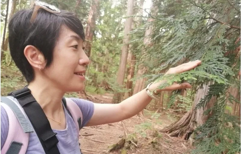
Mt. Kiso-Komagatake | For Beginners to Intermediate Hikers
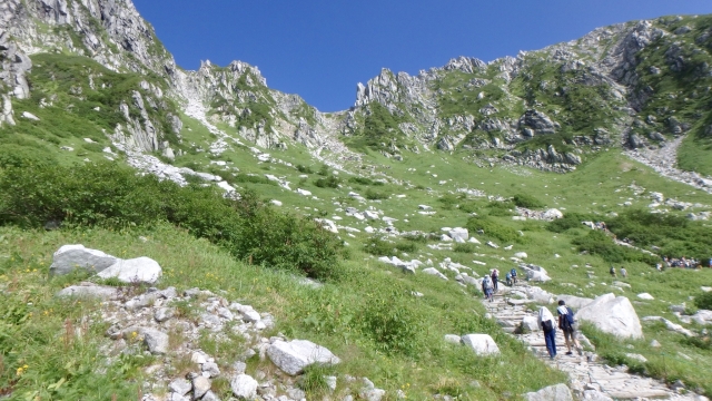
Mount Kiso-Komagatake is the highest peak in the Central Alps, standing at 2,956 meters, andJapan's Hundred Famous MountainsIt has also been selected for this list.
One of the attractions is that you can take the ropeway to Senjōjiki at an elevation of 2,612 meters, and from there, head toward the summit via the Senjōjiki Cirque, Nobori-goshi Jōdo, and Nakadake.
We recommend this to anyone who wants to enjoy the sweeping panoramic views unique to Takayama or who’d like to try their hand at serious mountain climbing.
◆Directions: About 3 minutes from Komagane IC to Suganodai Bus Center; take the local bus to Shirabidaira Station (about 30 minutes), then take the Mt. Komagatake Ropeway to Senjojiki Station (about 7 minutes and 30 seconds)
◆Estimated Time: About 4 hours round-trip from Senjojiki Station to the summit
Mt. Norikura | For Beginners to Intermediate Hikers
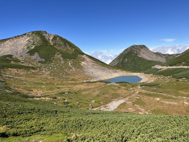
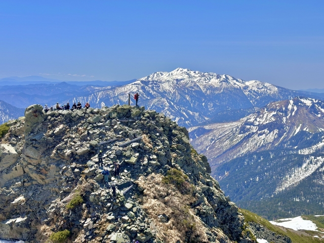
Mount Norikura is a mountain whose highest peak is Kengamine, at an elevation of 3,026 meters, andA relatively easy way to experience climbing a 3,000-meter peakSpot.
You can take a bus to Tatamidaira, located at an elevation of 2,702 meters, and from there, a hiking trail leads to the summit in about 1 hour and 30 minutes.
It’s also recommended for those who want to try hiking in the mountains for the first time while enjoying alpine flora and the breathtaking views of the Northern Alps.
Access: Take a local bus from JR Takayama to Honokidaira Bus Terminal and transfer to a shuttle bus to Norikura-dake Bus Terminal.
◆Time required: about 3 hours
Click here for more information about Mount Norikura↓
↓Norikura Kogen, a place to enjoy the fun of Norikura Kogen in combination with
Click here for forest bathing tours
Mt. Tateshina | For Beginners to Intermediate Hikers
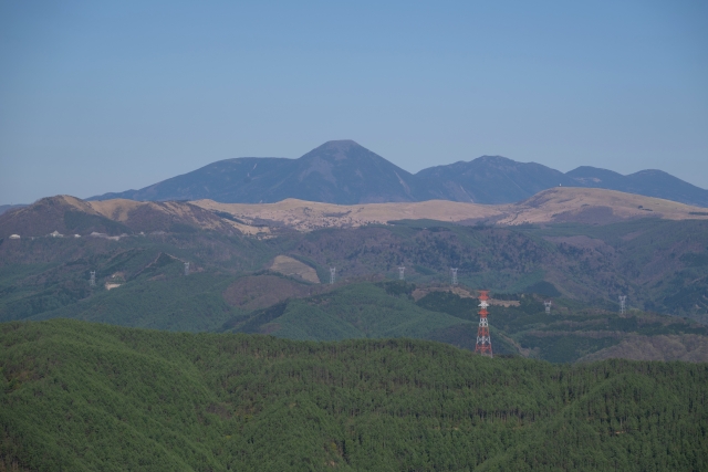
Mount Tateshina is a mountain with an elevation of 2,530 meters; it is known as “Suwa Fuji (Mt. Fuji, Mt. Suwa)It is also referred to as "the
The route from the 7th Station trailhead to the summit is relatively short, andIt's a great option for those looking to try a day hike...is its defining feature.
From the summit, you can take in panoramic views of the Yatsugatake Range, the Southern Alps, and the Central Alps, so if you’re looking to enjoy breathtaking scenery, be sure to give it a try.
◆Altitude: 2,531m
Access: Approx. 55 minutes from the Suwa IC of the Chuo Expressway to the trailhead of Mt.
◆Required time: approx. 4 hours round trip
Click here for more information about the Tateshina Highlands ↓
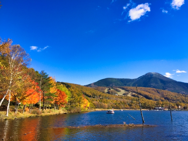
Togakushi | For Beginners
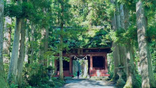
Togakushi is,Togakushi Shrineand ... andTogakushi Forest Botanical Garden, ,Kagami PondAn area where you can enjoy hiking through lush, natural mountain scenery while exploring various spots.
There are also relatively easy hiking trails, such as the one leading from the Togakushi Forest Botanical Garden to Kagami Pond.
This is highly recommended for anyone who wants to enjoy the scenery of the deep forest and the Togakushi Mountain Range while also experiencing the area’s history and culture.
◆Access: 1 hour from Nagano Station by bus or car
◆Time required: about 2 hours and 30 minutes
Click here for more information about Togakushi Shrine ↓
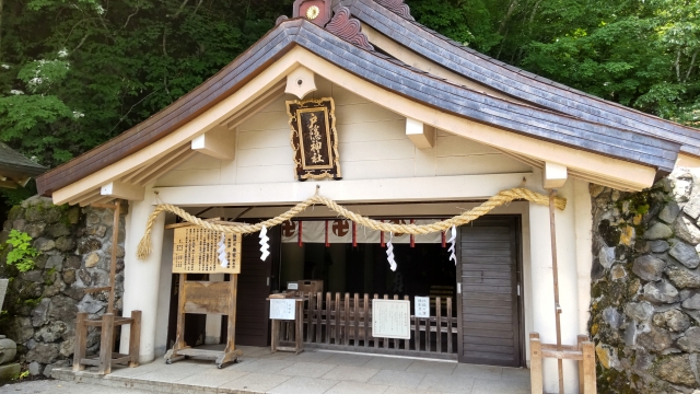
Utsukushigahara Highlands | For Beginners
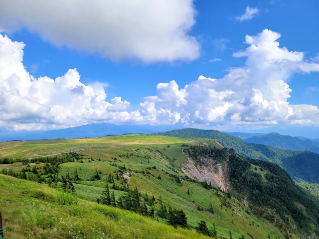
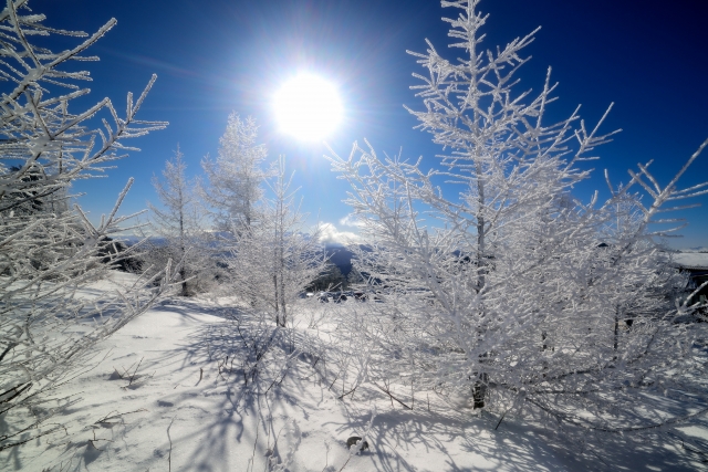
The Utsukushigahara Highlands is a vast plateau at an elevation of around 2,000 meters and is a popular spot for taking walks while enjoying the expansive scenery.
There are well-maintained walking trails throughout the plateau, where you can enjoy hiking tours that take you to the summit of Oga-gashira and the Tower of Beauty.
For those who’d rather take a leisurely stroll while enjoying the scenery than tackle a rugged mountain trail, orHighland Hiking for BeginnersAlso recommended for...
◆Directions: About 75 minutes by car from Matsumoto IC to the Utsukushigahara Nature Conservation Center, or about 75 minutes by direct bus from Matsumoto Station to the Utsukushigahara Highlands
◆Estimated Time: About 2 hours one way from Yamamoto-goya Furusato-kan to Oga-gashira
Click here for more information about the Utsukushigahara Highlands ↓
Be sure to check this out too!
Click here for popular tours of the Asama Highlands ↓
Kirigamine | For Beginners
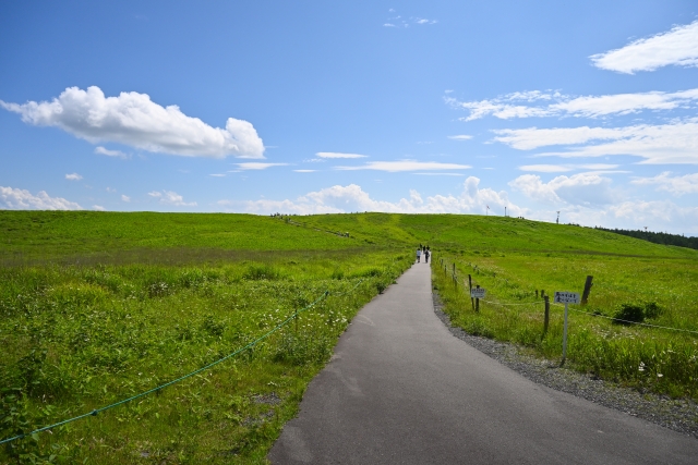
Kirigamine is a vast highland area that includes Mount Kurumayama and the Yashimagahara Marsh, and it is a hiking spot where you can enjoy nature throughout the seasons.
One of the attractions is being able to take in the views of grasslands, wetlands, and the surrounding mountains while walking along the relatively gentle plateau trails.
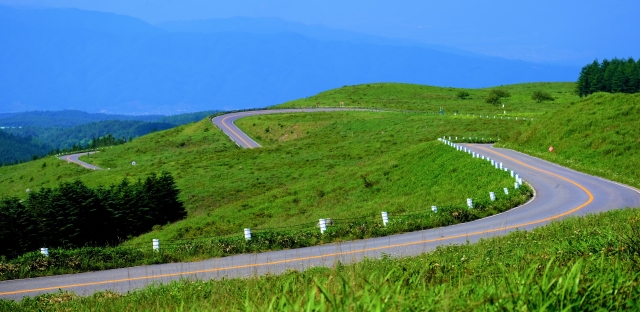
Combined with a drive along the Venus Line,A Relaxed Hike in the MountainsIt's also perfect for those who want to enjoy [...].
◆Directions: Take the Alpico Kotsu bus from JR Kami-Suwa Station to the Kirigamine Interchange (approx. 40 minutes)
◆Estimated Time: A little over 1 hour round-trip from Kurumayama-kata to the summit of Kurumayama
Click here for more information about Kirigamine↓
Be sure to check this out too!
Click here for popular snowshoeing experiences at Takamine Highlands ↓
Mt. Hakuba | For Intermediate Hikers
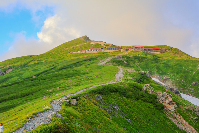
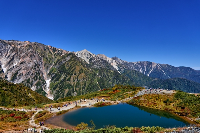
Mt. Hakuba, standing at an elevation of 2,932 meters, is one of the most iconic peaks in the Northern Alps, renowned for its vast snowfields, alpine flora, and magnificent views from its ridgelines.
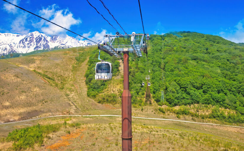
On the route from Tsugaike Nature Park to the summit via Hakuba Oike,A mountainous landscape typical of the Northern AlpsYou can fully enjoy it.
If you're looking to take on a serious mountain climb—including long hikes and overnight stays in mountain huts—make sure you're well-equipped and have a solid plan in place so you can enjoy the experience.
◆Directions: Take the JR Hakuba Station bus on the Sarukura Line to the Sarukura bus stop (approx. 27 minutes)
◆Duration: A climb up Mt. Hakuba typically takes two days and one night, with a total walking time of about 14 hours.
Click here for more information about Hakuba Happo-one ↓
Things to Enjoy Alongside This!
Click here for popular tours in Hakuba↓
Mt. Tsubame | For Intermediate Hikers
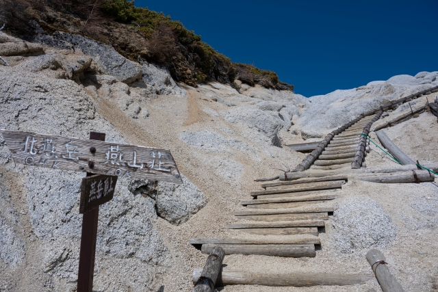
Mt. Tsubame, located in the Northern Alps at an elevation of 2,763 meters, is a popular hiking destination where visitors climb the Gassen Ridge to reach the summit.
Along the hiking trail are the Tsubame-sanso and Gassen-goya mountain huts, and around the summit,Dolphin Rockand ... andGlasses RockYou can see distinctive rocks such as these.
Since this route is a popular choice for those looking to start serious mountaineering in the Northern Alps, why not get in shape and gear up to give it a try?
◆Directions: Take the regular bus from JR Hotaka Station to Ariake-so (about 50 minutes); from Ariake-so, it’s about 3 minutes to the Tsubakidake Trailhead (Nakabusa Onsen)
◆Estimated Time: Approximately 9 hours and 30 minutes round-trip from the Nakabusa Onsen trailhead to Mt. Tsubame
Click here for more information about Azumino ↓
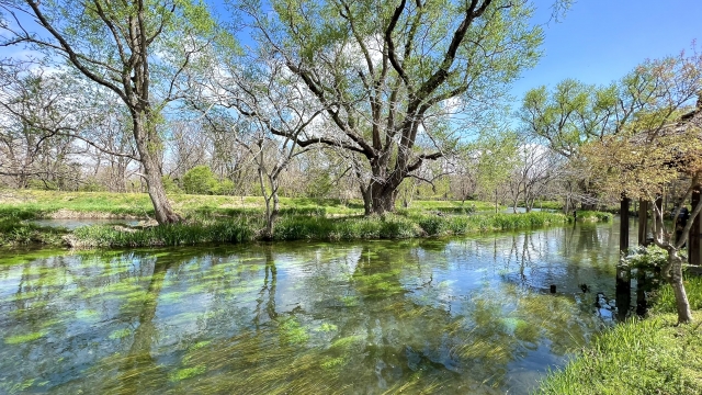
Held in Azumino City!
Click here for popular go-kart tours in Nagano ↓



Mt. Hotaka | For Advanced Climbers
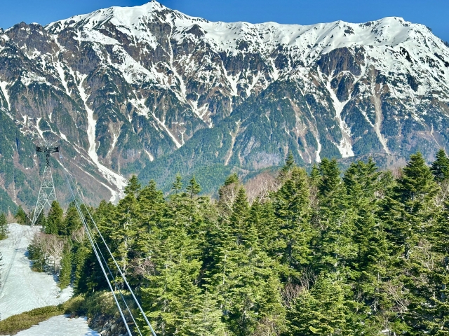
Mount Hotaka is one of the most iconic mountain ranges in the Northern Alps, featuring a chain of 3,000-meter-class peaks such as Mount Okuhotaka, Mount Maehotaka, and Mount Kitahotaka.
Including rocky terrain and steep climbsThere are many challenging hiking trails,...It is essential to have sufficient mountaineering experience and equipment, and to plan your trip with the weather in mind.
If you’re planning to hike to take in the magnificent views of the Hotaka Mountain Range, choose a route that matches your skill level and physical fitness, and enjoy your hike while putting safety first.
◆Altitude: Oku-Hotaka3,190m
◆Access: From MatsumotoTake the Alpico Kotsu Kamikochi Line to Niijima Station (30 minutes), then take a shuttle bus or cab to Kamikochi Bus Terminal (about 1 hour).
◆Required time: about 19 hours round trip
Things to Enjoy Alongside This!
Click here for the Kamikochi day trip bus tour ↓
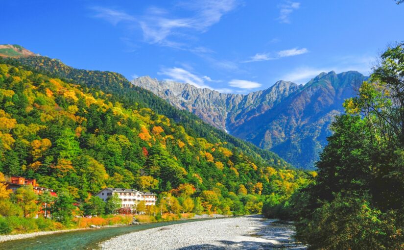
Mountain climbing and trekking in Nagano, Japan

In order to enjoy mountain climbing and trekking in Nagano, you need to prepare well in advance.
Please follow the points below to enjoy safe and comfortable mountain climbing and trekking.
Click here to see the ranking of popular plans in Nagano
Clothing and Equipment
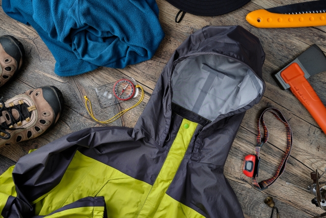
Proper clothing and equipment are essential when climbing or trekking.
This is especially true because temperatures change rapidly at higher elevations,Clothing that can regulate body temperatureChoose the
Clothing that is easy to regulate temperature (lightweight windbreaker, fleece, etc.)
Mountaineering shoes
◆Things to bring
Trekking poles
Sun protection such as hats, sunglasses, etc.
Rain gear (rain wear, poncho)
Beverages and snacks
Insect repellent, portable toilets
Paper map, compass (because the phone signal is unstable in some places)
Weather check
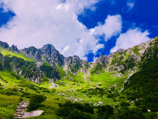
In the mountainous areas of Nagano Prefecture, weather conditions can change rapidly.
It is important to check the weather forecast before departure, and if bad weather is forecast, it is important to take it easy and make the decision to cancel the climb.
Particularly in winter and during inclement weather, the trail becomes slippery, so extreme caution is required.
Food and hydration
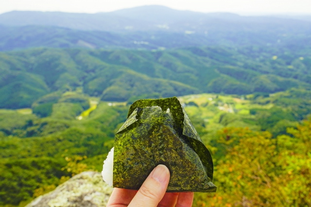
Carrying adequate food and water is important for long mountaineering and trekking trips because of the energy expended.
Bring energy bars and nuts for snacks, and hydrate regularly.
summary
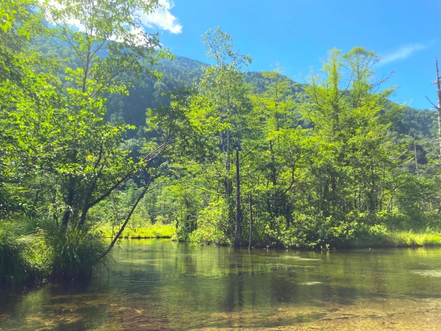
Nagano Prefecture is blessed with beautiful mountains, including the Japanese Alps and the Yatsugatake Mountains, and is an attractive area for mountaineering and trekking enthusiasts.
A wide variety of routes are available, from trekking courses for beginners to full-scale mountain climbing courses, allowing visitors to enjoy the beauty of nature in each of the four seasons.
When planning your Nagano mountaineering or trekking trip, be well prepared and enjoy the wonderful contact with nature.
Click here to read the article in conjunction with this one.